Pioneering geological mapping in the Arctic
Slawomir Jack Giletycz
Department of Earth Sciences, National Central University


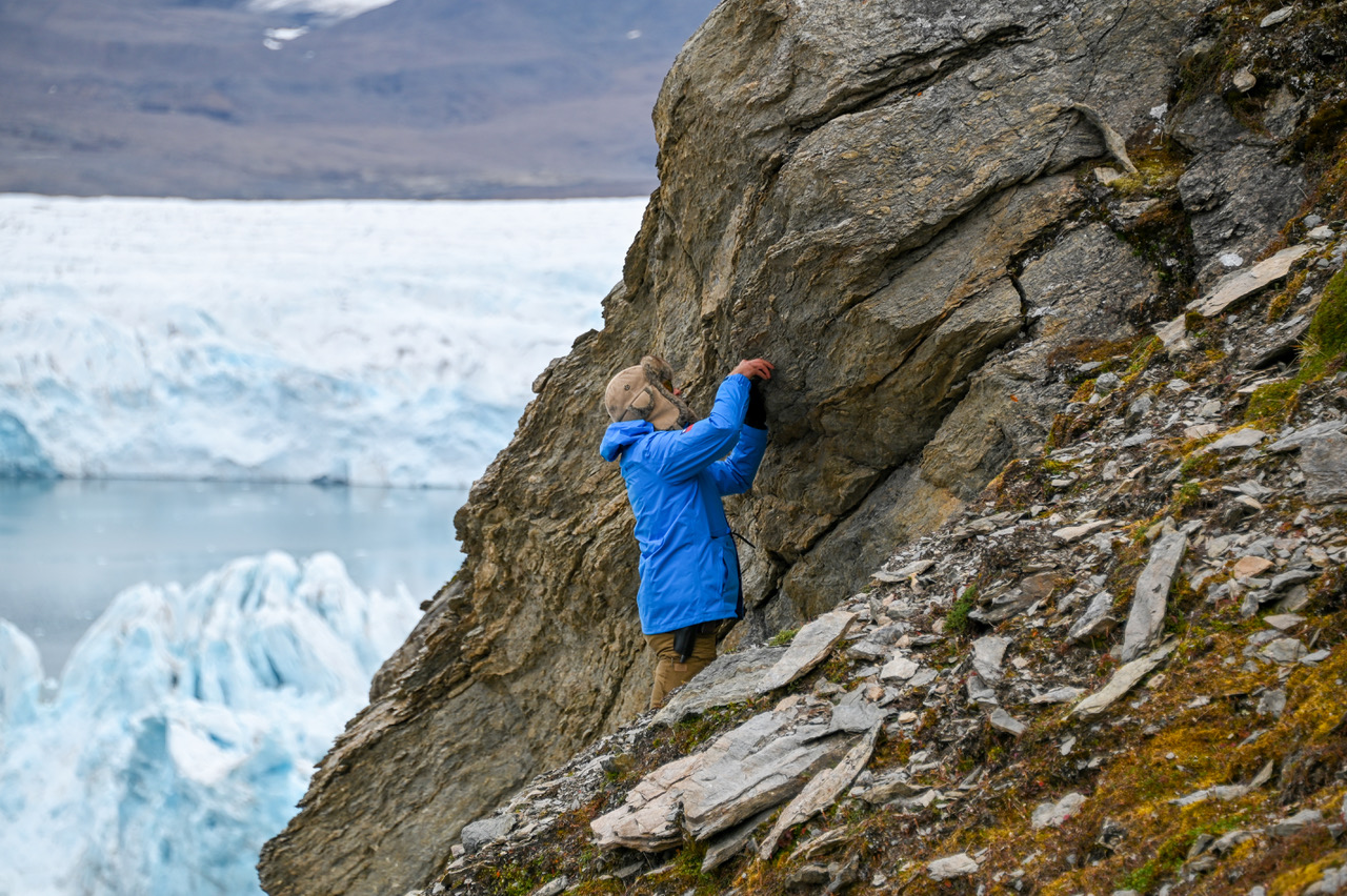
My initial objectives for the research in the Arctic, is to conduct a geological mapping in the northern Kaffiøyra of the western Svalbard. This area represents an eastern boundary of a tectonic graben (Forlandsundet Graben) that opened during the Eurekan Orogeny when Greenland detached from Svalbard moving towards north-west. Since, due to global warming, the Arctic experiences rapid glaciers retreat, there is a large-scale continuous exposition of a new topography yearly, that has never been mapped before. As the result, I am the first scientist that is able to survey the areas which on the geological maps are still marked as terra incognita (unknown terrain), because they are simply covered by ice. This aim gives a very important input for the understanding of Svalbard geology and structural model. My main methodology in this survey, is to interpret newly exposed areas in terms of structural geology, tectonic setting but also recreate a 3D geological model of the area including topography. My last expeditions in 2021, 2022 and 2023, I focused on a central part of the eastern boundary of the Forlandsundet Graben in the vicinity of the Nicolaus Copernicus Polar Station in northern Kaffiøyra. The graben boundary in this area, was covered by Glacier Aavatsmark just few years ago. Since the glacier retreat yields over 60 meters yearly, every next year I arrive to the same area where a vast surface can be conduct to my new research. This is a very important ‘piece of puzzle’, that I believe, gives a significant contribution to the general geological map of the Svalbard archipelago.
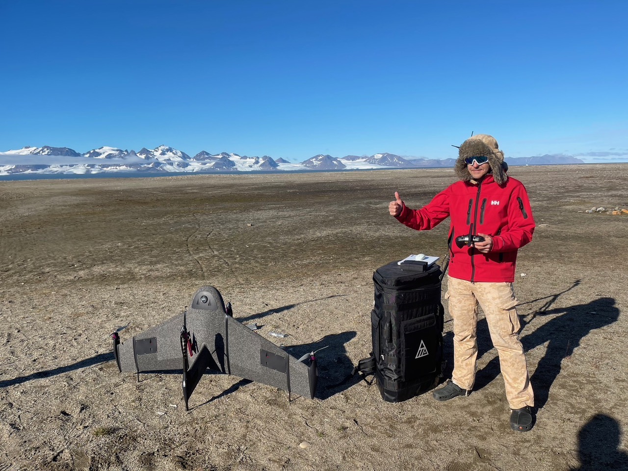
My second approach for the research in Arctic, is to conduct a geomorphological monitoring of the topography during an environment change due to surface warming. The most prominent landform is a drainage system and its reorganization. The rapid icecap melting and glaciers retreat expose new topography which results in increase of drainage systems. Also, those fluvial systems show high rates of reorganization as the adjust to new topographies. Simultaneously, the increase of the drainage systems results in higher water energy in main tributaries, what impacts on massive sediment production, transport and discharge. This also leads to coast systems development as rivers mouth rearrangement, sandspits production, etc., but also shallowing of the Foralandsundet trough. I conduct series of UAV mapping of the same area every year, and compare these geomorphological systems to comprehend their evolution. Fast rates of this environment change, just after 3 years show significant changes in the Arctic landscapes.